Advertise | Privacy Disclaimer | Michael Arnold Art | Black History | Florida Blog | Floridian Nature |
| Dog Encyclopedia |


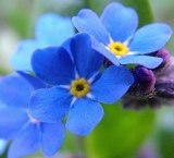
Alaska's State Flower is the "Forget-Me-Not. Forget me not flowers are very fragrant in the evening and night time, though there is little or no scent in the daytime. They can be annual or perennial plants. Their seeds are found in small, tulip shaped pods along the stem to the flower.
|
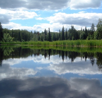
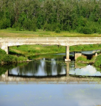
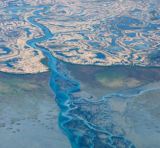
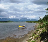
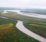
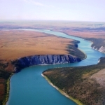
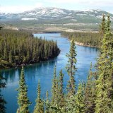
Alaska has more than 12,000 rivers including the nine major rivers listed below:
Learn more about Alaskan rivers
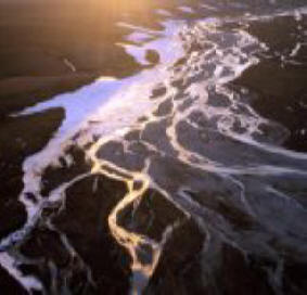 |  |  |
| Colville River | Copper River | Gulkana River |
 |  | 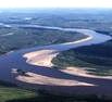 |
| Kuskokwim River | Noatak River | Porcupine River |
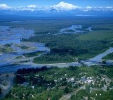 |  |  |
| Susitna River | Tanana River | Yukon River. |