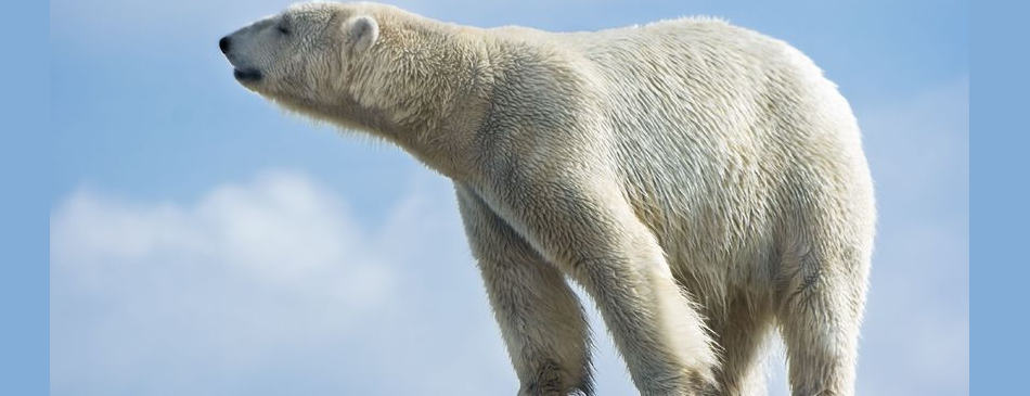
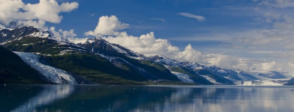
Water is a very important Alaskan resource. While Alaska makes up approximately 17 percent of the U.S. area, it accounts for one-third of the U.S. fresh water supply. Much of that fresh water is located in Southeast and Southcentral Alaska where the coastal mountain areas receive large amounts of precipitation.
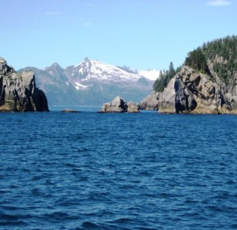
Alaska has many bodies of water bordering it. To the north is the Arctic Ocean and Beaufort Sea. To the northwest is the Chukchi Sea. The Bering Strait and Bering Sea lie along the west and southwest of Alaska, as well as the north of the Aleutian Islands. The Pacific Ocean borders the southern coastline of Alaska.
With its myriad islands, Alaska has nearly 34,000 miles (54,720 km) of tidal shoreline. The Aleutian Islands chain extends west from the southern tip of the Alaska Peninsula.
One of the world's largest tides occurs in Turnagain Arm, just south of Anchorage – tidal differences can be more than 35 feet (10.7 m). Many sources say Turnagain has the second-greatest tides in North America, but several areas in Canada have larger tides.)
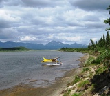
The Alaskan waterways play an integral role in the state. Waterways provide transportation, fishing and hunting, recreation, and tourism. Many cities, towns and villages in the state do not have road or highway access; the only modes of access involve travel by air, river, or the sea. Alaska's well-developed state-owned ferry system, known as the Alaska Marine Highway, serves the cities of southeast, the Gulf Coast and the Alaska Peninsula.
With 656,425 square miles of rugged wilderness, scenic beauty and abundant wildlife, Alaska is a big place! Which means traveling in Alaska presents some unique opportunities. Unlike the 'lower 48' many of Alaska's communities are not accessible by a land based road system so in many areas the primary means of travel is by air or sea. The Alaska Marine Highway makes up a large part of Alaska's 'highway system' and is a route so special it has been designated National Scenic Byway and an All American Road, the only marine route with this designation.
The ferries transport vehicles as well as passengers. The system also operates a ferry service from Bellingham, Washington and Prince Rupert, British Columbia in Canada through the Inside Passage to Skagway. The Inter-Island Ferry Authority also serves as an important marine link for many communities in the Prince of Wales Island region of Southeast and works in concert with the Alaska Marine Highway.
In recent years, cruise lines have created a summertime tourism market, mainly connecting the Pacific Northwest to Southeast Alaska and, to a lesser degree, towns along Alaska's gulf coast. The population of Ketchikan may rise by over 10,000 people on many days during the summer, as up to four large cruise ships at a time can dock, debarking thousands passengers.
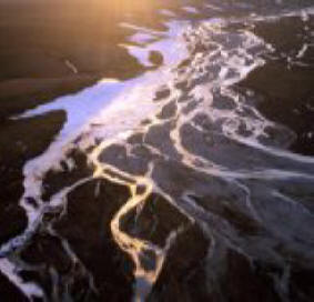
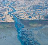
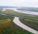
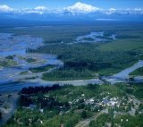
Nobody has counted all of the streams and lakes in Alaska, but we know that the numbers are enormous. The Yukon Flats area has roughly 20,000 lakes and this number is matched and exceeded in other areas such as the Yukon-Kuskokwim Delta and the Arctic Coastal Plain. More than 12,000 rivers have been counted, but this number does not include thousands of minor tributaries. Lakes and streams provide much for Alaskans such as a source of water, food, and routes of transportation.
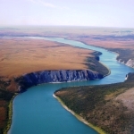
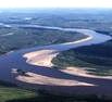
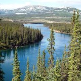
Alaska’s largest river system, the Yukon, begins its flow in Canada, and continues through the Intermontane physiographic region of Alaska where it eventually flows into the Bering Sea. Alaska’s other major river systems are the Colville River, Copper River, Gulkana River, Kuskokwim River, Noatak River, Porcupine River, Susitna River, and the Tanana River.
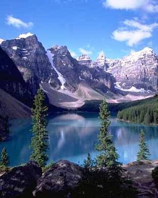
Alaska’s largest lakes are found today in Southwest Alaska. The largest is Illiamna Lake (1,150 sq. miles or 2,979 sq. kilometers) followed by Becharof Lake (458 sq. miles or 1,186 sq. kilometers). Geologists have estimated that during the last major glacial period Glacial Lake Ahtna, in the vicinity of the Copper River Lowland, was thought to be larger in size than Lake Michigan is today .
|
|